Drones have become a big tool in many jobs. In forestry, they are changing the way we see and manage our woods.
Before, we needed people to walk deep into forests to gather data. Now, drones can fly over and collect this data quickly and easily.
This modern way is helping us keep our forests healthy and strong. So, in this guide, let’s discover the application of drones in forestry.
Table of Contents
History Of Forestry Management Tools
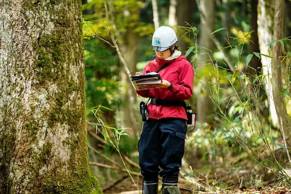
Long ago, people looked after forests in simple ways. They walked through the woods and used their eyes to see what was happening.
They checked the health of the trees and counted them one by one.
Later, people used planes to get a bird’s eye view of the forest. These were called aerial surveys.
By flying over, they could see large areas at once. This made it easier to check the health of the forest. But planes could not see every tiny detail.
Over time, technology got better. Machines helped people work faster and wiser. Computers came into the picture. They helped people keep track of trees and understand the forest better.
Now, drones have changed the game. These small flying machines can go where people and planes can’t.
They fly close to trees and take clear pictures. This gives a very good view of the forest.
Traditional Methods Used In Forestry
Walking Through Forests
In the old days, people walked and looked. They saw if trees were sick or too many in one place. This method took a lot of time.
Aerial Surveys
Planes flew over forests. From the sky, they took pictures. This gave a good idea of the forest’s health. But they missed small things on the ground.
Manual Tree Counting
People counted trees one by one. They used it to know how many trees were in a place. It was hard work!
Evolution Of Technology In Forestry
As years went by, tools got better. Computers helped a lot. They stored a lot of information about forests. This made work faster.
Then came the satellites. They gave pictures from space. This helped see changes in the forest over time.
Now, we have drones. Drones are small and smart. They fly close to the ground and see tiny details.
With cameras, they take great pictures. Drones make it easy to know what happens in the forest every day.
Understanding The Role Of Drones In Forestry
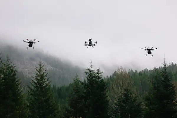
Drones have changed the way we look at forests. These flying machines help us care for trees in new and exciting ways. Let’s dive into how drones work in forestry.
Types Of Drones Used
Fixed-Wing Drones
These drones look like small airplanes. They can fly for a long time and cover big areas. This makes them great for looking at extensive forests.
Multi-Rotor Drones
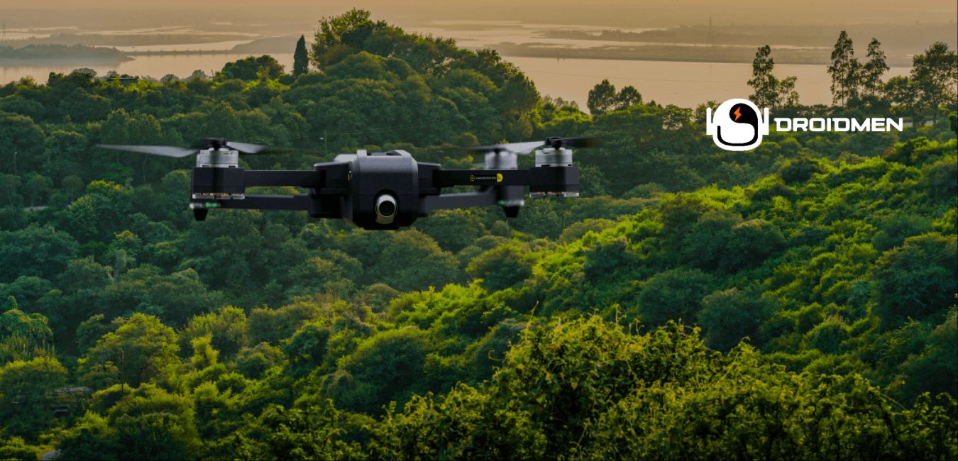
These drones have many spinning blades. They can hover in one place and move slowly. This helps when we must closely look at one spot in the forest.
Basic Functions And Tools
Drones carry tools that help them do their job. Here are some of the main tools:
Cameras
Drones have cameras to take pictures and videos of the forest. This helps us see the trees, paths, and animals from high above.
Sensors
These tools can feel things in the air, like heat or moisture. Some sensors can tell how healthy a tree is. Others can find spots where trees need more water or where fires start.
Key Applications Of Drones In Forestry
Tree Planting
Drones make tree planting easy and fast. Before, people planted trees by hand. It took a lot of time.
Now, drones can drop seed pods from the sky. They plant thousands of trees in just a few hours. This helps forests grow quickly.
Forest Health Monitoring
Healthy forests are essential. Drones help us check on them. They fly over the trees and take pictures.
We look at these pictures to see if the trees are sick or healthy. With drones, we can spot problems early. Then, we can fix them before they get worse.
Biomass Estimations And Growth Monitoring
Forests have a lot of trees. We need to know how many. We also want to know how big they are. Drones can help.
They take photos from above. We use these photos to count the trees. We also measure their size. This tells us how much wood the forest has. It also shows us how fast the trees grow.
Fire Management And Damage Assessment
Fires can harm forests. We need to stop them fast. Drones help with this. They fly over the forest and spot fires.
They can see small fires that people miss. Once we know where the fire is, we can put it out. After the fire, drones look at the damage. They show us which areas need help.
Topographical Mapping And Terrain Analysis
Forests have hills, valleys, and streams. We need to know where they are. Drones help map the land. They take photos of the ground.
We use these photos to make maps. These maps help us plan where to plant trees. They also show us where the water flows. This helps us care for the forest better.
Benefits Of Using Drones In Forestry
Enhanced Data Accuracy
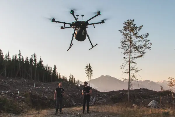
Drones give forest managers a clear view from above. This bird’s-eye view allows them to see things they can’t from the ground.
They can spot tree health, growth, and areas that need care. This data is 100% more accurate than old methods.
Cost-Effectiveness
Using drones saves money. In the past, people needed to walk through forests or use costly planes.
Drones can cover large areas quickly. So, managers save time and money. They can see the forest in detail without high costs.
Safety
Forests can have dangers like wild animals or rough terrain. Drones keep people safe.
Forest workers don’t need to go to risky places. They can send a drone instead. This means fewer accidents and safer work for everyone.
Sustainability
Drones help make forests last longer. They show which areas need care. Managers can then act to keep trees healthy.
This means forests grow better and provide more benefits. Trees clean the air and give homes to animals. So, using drones helps everyone and the planet.
Challenges And Considerations
Drones have changed the way we look at forests. But using them in the woods is not always easy. Here are some things to think about:
Rules In The Sky: Airspace And Regulation
Navigating the skies isn’t just about steering the drone. There are rules set by governments and local bodies about where a drone can fly.
Airspace Restrictions
Some areas are no-fly zones, especially near airports or military zones. Flying drones in these areas can lead to legal troubles.
So, anyone looking to use drones in forestry must have a clear map of where it’s safe and legal to fly.
Permissions And Licenses
In many places, flying drones for professional reasons requires special licenses.
This is true even if the forest is private land. The rules ensure that drones don’t harm people, other aircraft, or sensitive areas.
Technical Challenges
Drones are fantastic tools, but they come with limits:
Battery Life
Most drones can fly on a single charge for only 20 to 30 minutes.
This means that for longer tasks, like mapping a large forest, one has to plan stops to change batteries.
It requires having multiple batteries on hand and a strategy for efficient flights.
Range Limitations
Drones work best when they’re within a certain distance from the operator.
Beyond this range, the connection gets weak or breaks. This makes it vital to plan flight paths to stay within this range.
Payload Constraints
Drones can carry tools like cameras, sensors, or even seed packets for reforestation. But there’s a weight limit.
When a drone carries too much, it does not fly well or uses its battery faster. It is crucial to pick the right tool for the job and ensure it’s not too heavy.
Training And Skill Set
Forests are dynamic, full of obstacles, and unpredictable.
Special Training Needed
Flying a drone in an open field differs from navigating a dense forest.
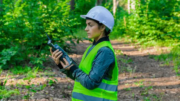
Operators must be trained to avoid trees, deal with birds or other wildlife, and handle changing weather conditions. Special courses can help people learn these skills.
Forestry Knowledge
Besides knowing how to fly, a drone operator in forestry should also understand the forest.
Knowing tree species, growth patterns, and forest health can help them use the drones more effectively.
Application Of Drones In Forestry: Conclusion
To sum it up, drones are making a big difference in forestry. With their help, we can look after our woods better.
We can get fast and precise data without sending many people into the forest. This means we can make smart choices to keep our forests green and growing for many years.